THE BEACHES OF HYDRA
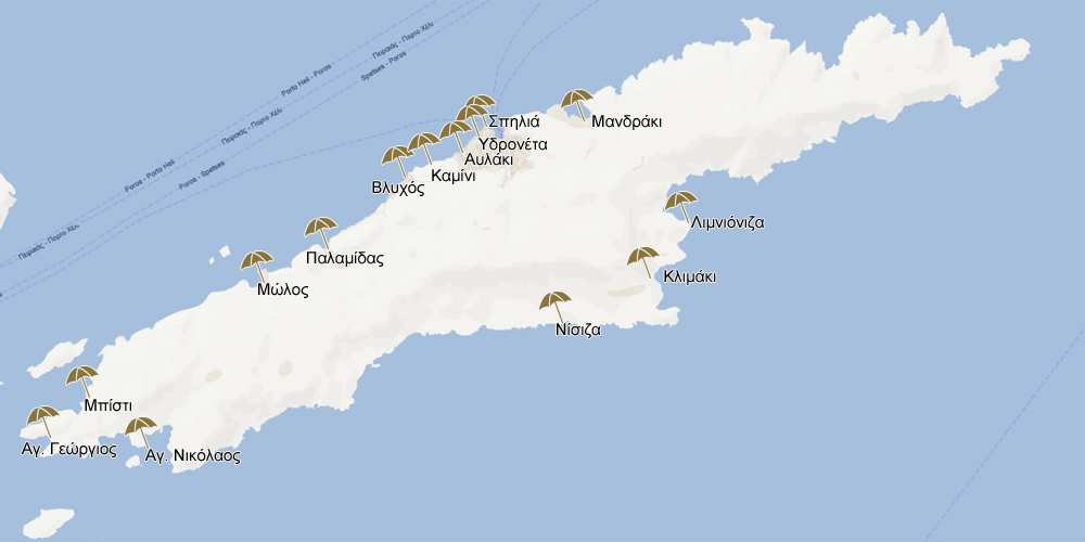
All the picturesque beaches mentioned below are connected to the port of Hydra by sea taxis, boats, or small tourist vessels.
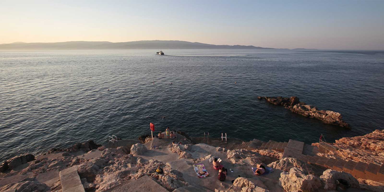
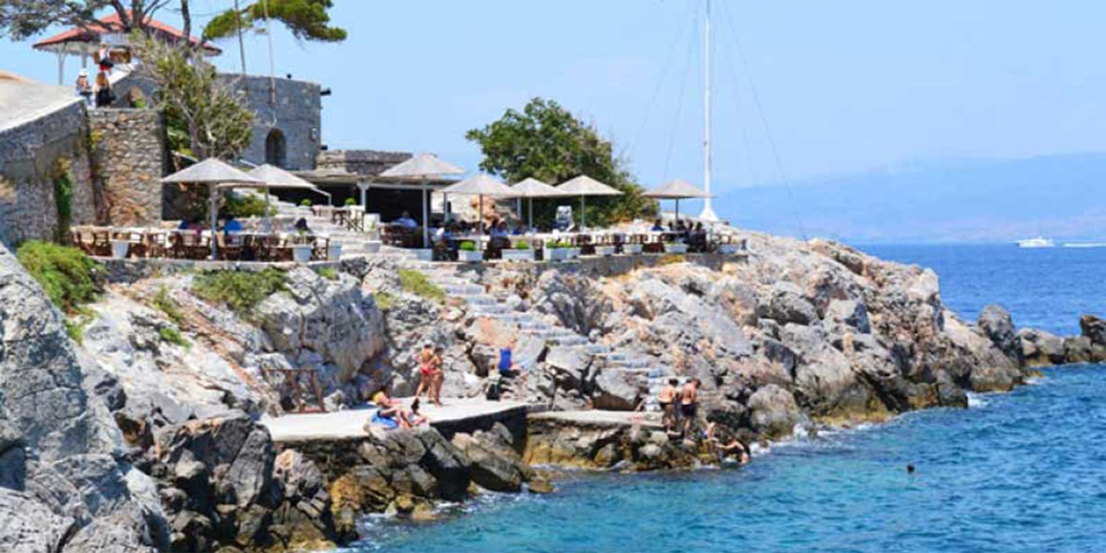
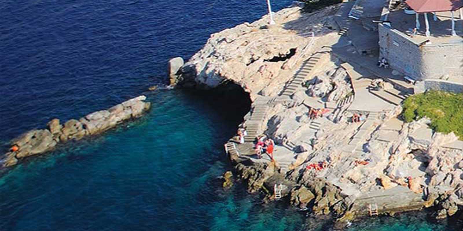
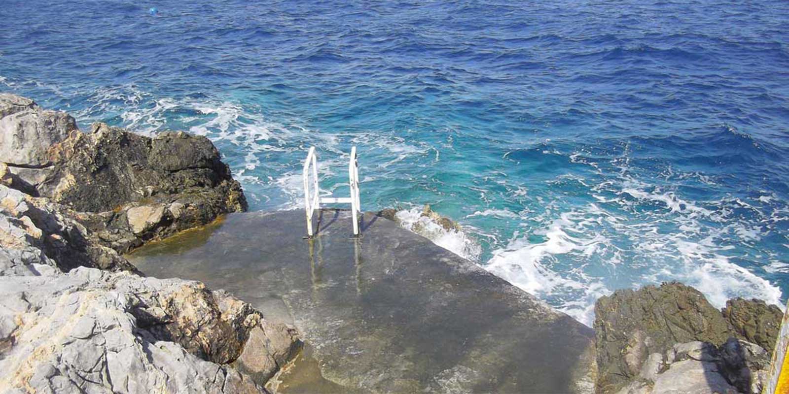
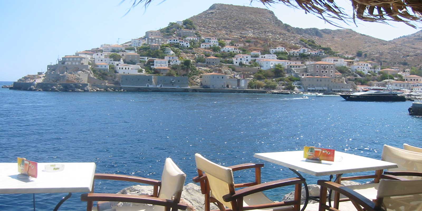
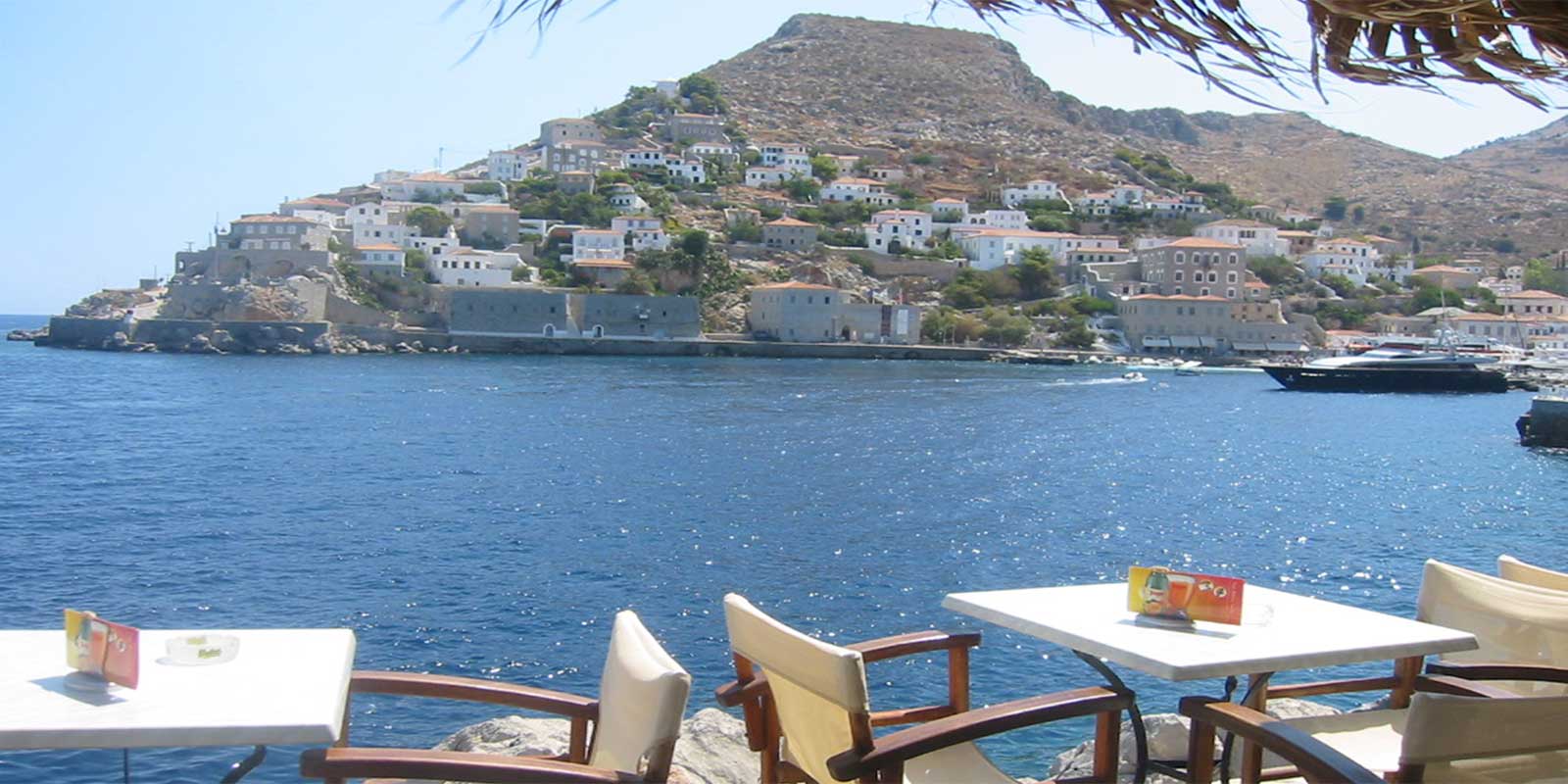
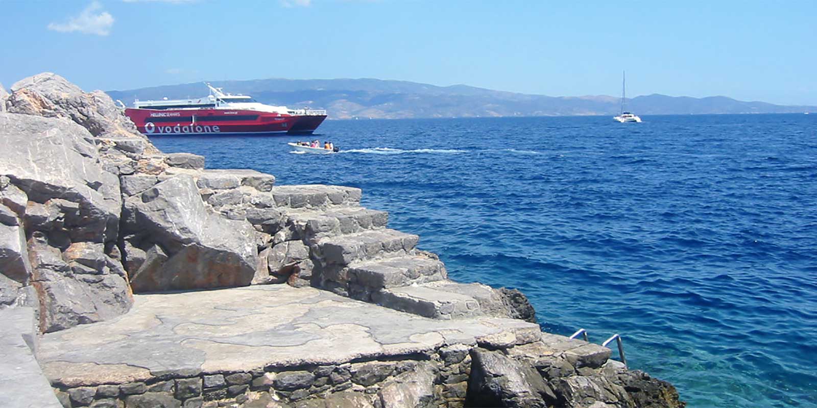
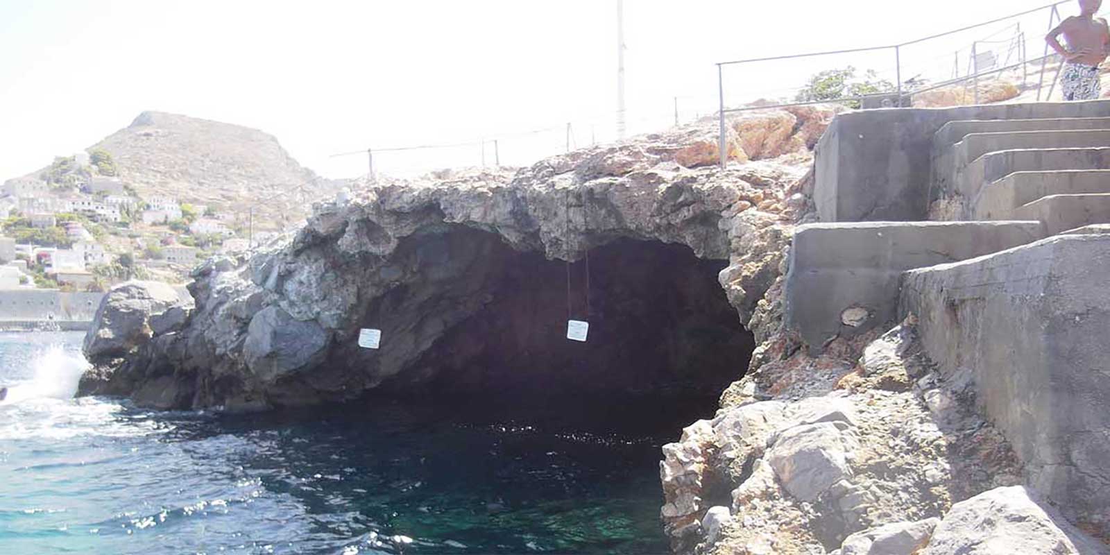
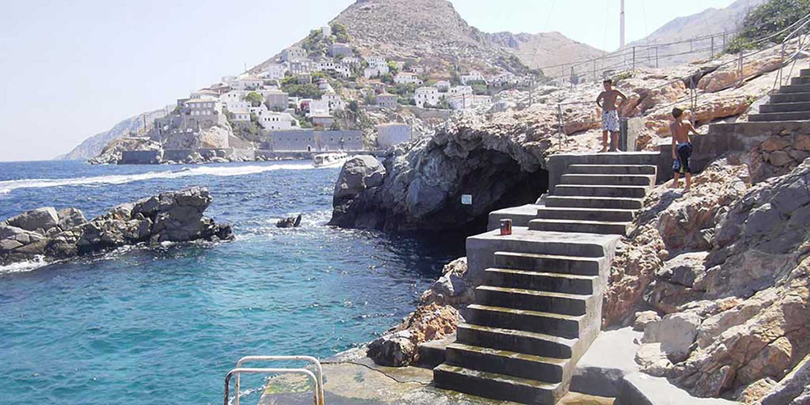
At the edge of the breakwater, on the rocks outside the harbor, lies Spilia, a rocky beach with high traffic, ideal for diving from the rocks into very deep and crystal-clear waters. Some rocks have been smoothed and paved with cement to create space for sunbathing. There is a cafe-snack bar where you can enjoy coffee, cold juice, or a refreshment, or have a quick meal.
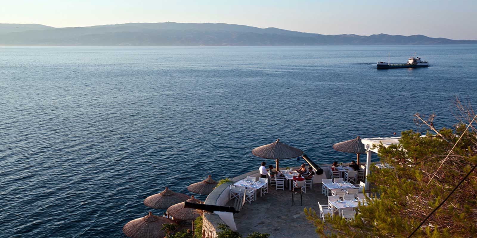
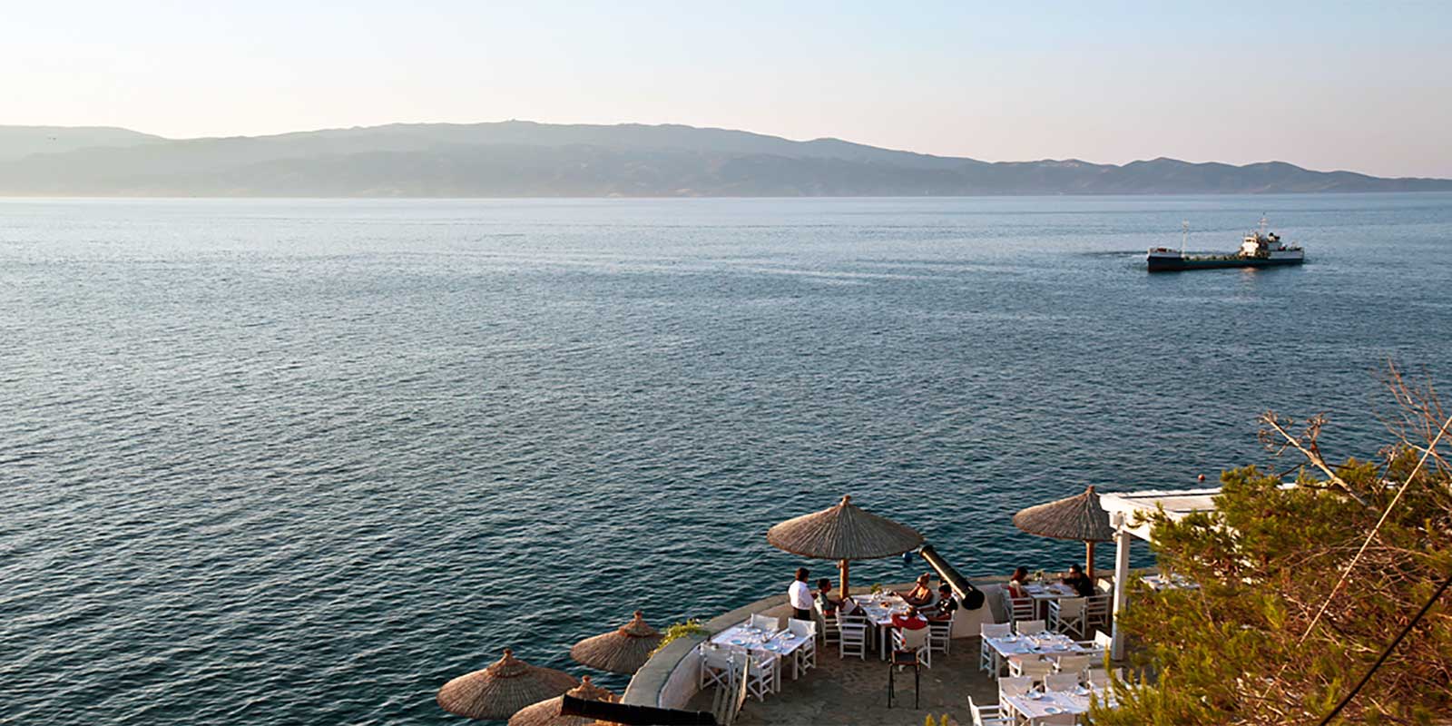
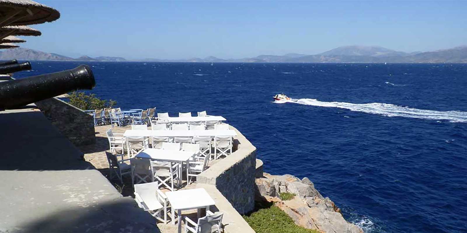
Next to it is Hydronetta, located in perhaps the most beautiful part of the island, under the cannons, on the rocks, in the same area as Spilia. It is also ideal for diving from the rocks into very deep waters. Flat areas for sunbathing have been created here as well, and there is a cafe-snack bar for coffee, cold juice, or refreshments, plus a restaurant with an unobstructed sea view.
After Hydronetta is Avlaki, located between the old bridge of Agia Anna and the Boudouri Mansion. It is a beautiful small pebbly beach that is illuminated at night, offering a wonderful sight. You descend via steps immediately after Hydronetta; it features turquoise waters and a pier where one can sunbathe.
Following the coastal road, 5 minutes after Avlaki, we reach Kamini, a small, natural, and picturesque fishing port filled with fishing boats. Right next to it is Mikro Kamini, a beautiful, organized small pebbly beach with a beach bar at the "old oil press," which is ideal for small children and play.
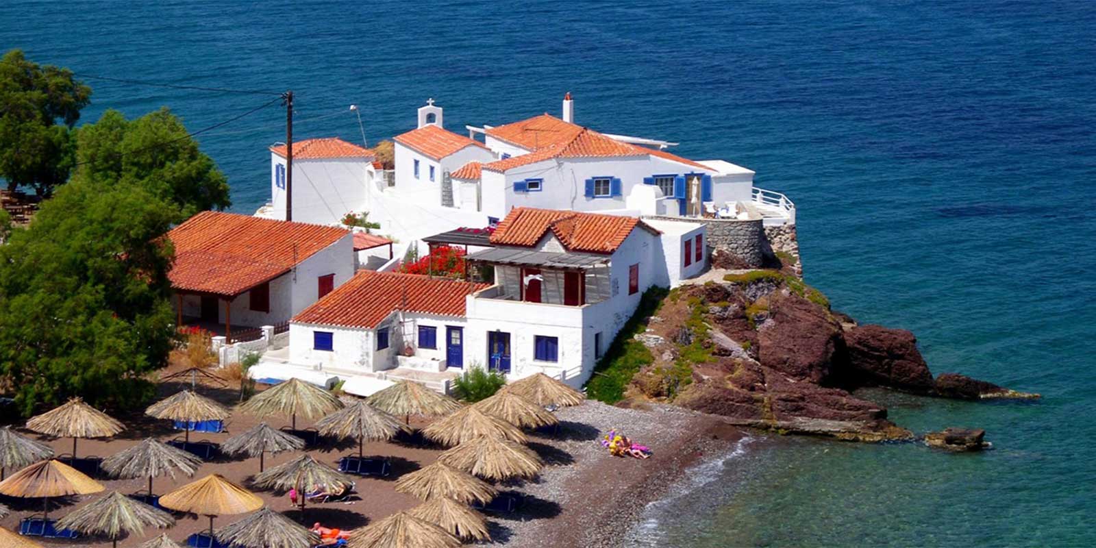
Continuing on the coastal dirt road, after 10 minutes, we reach the beautiful seaside traditional settlement of Vlychos, with enchanting views and wonderful sunsets, suitable for family tourism.
After the small harbor of Vlychos lies the seaside settlement of Plakes Vlychou, a very beautiful and fully organized beach with crystal-clear blue waters. Just a few meters from the sea, there is a restaurant where you can enjoy refreshing juices and exceptional flavors.
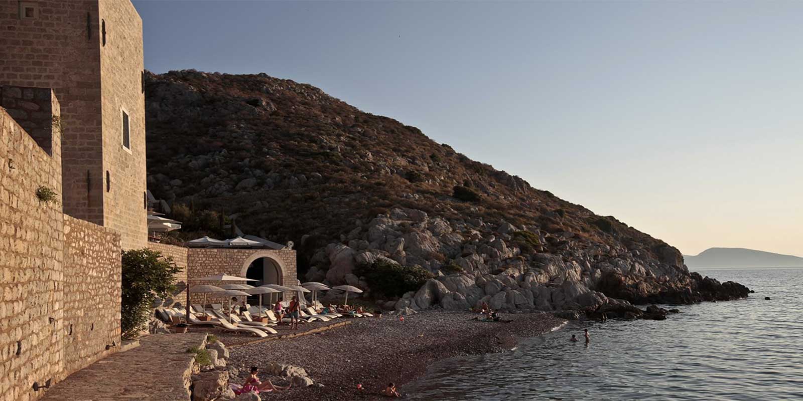
Leaving Vlychos, after a 20-minute walk and after encountering a bridge of unique beauty from the 17th century, we reach the seaside area of Palamidas, a beautiful beach with sand and fine pebbles. There stands the Voulgaris Mansion and the house where, according to history, Capudan Pasha lived. Near Palamidas beach, there is a shipyard for the repair and maintenance of small and large vessels. A bit further, after the steep "Zastani" rock, is the secluded beach of Agios Kyprianos, with turquoise waters and the small chapel of Agios Kyprianos.
After Palamidas lies Molos, a sheltered and quite peaceful rocky bay with a large and beautiful pebbly beach. Here, at the center of the beach, stands the old Charamis house and the picturesque small houses of the area along the beach, which is about a 70-minute walk from Hydra Town. During the Greek Revolution of 1821, it served as a naval base for the ships of revolted Hydra.
Subsequently, a bit further from Molos, lies a pine-covered area called Kaoumithi, which has a non-organized beach with coarse sand. A bit further is the beach of "Balis" or "Pigadakia" with small pebbles and warm waters, forming a small harbor. A few meters from the sea, there is an ancient Early Helladic settlement.
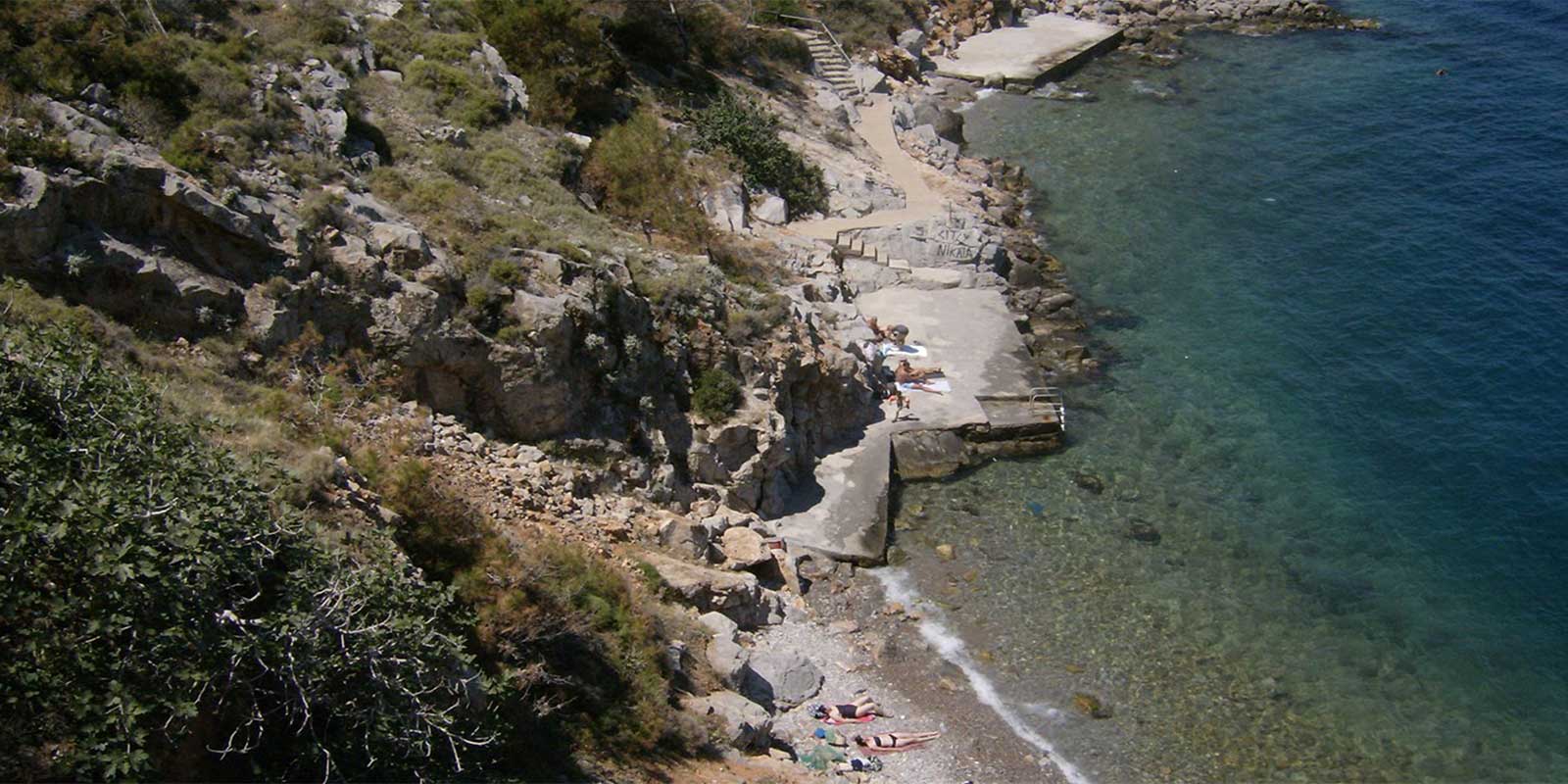
Bisti is the southernmost bay of the island and is surrounded by high rocks. It is an organized beach suitable for water games, diving from the rocks, and spearfishing, next to a lush pine forest where another ancient Early Helladic settlement exists.
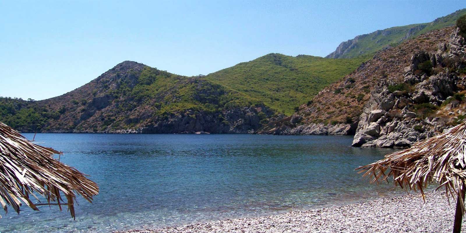
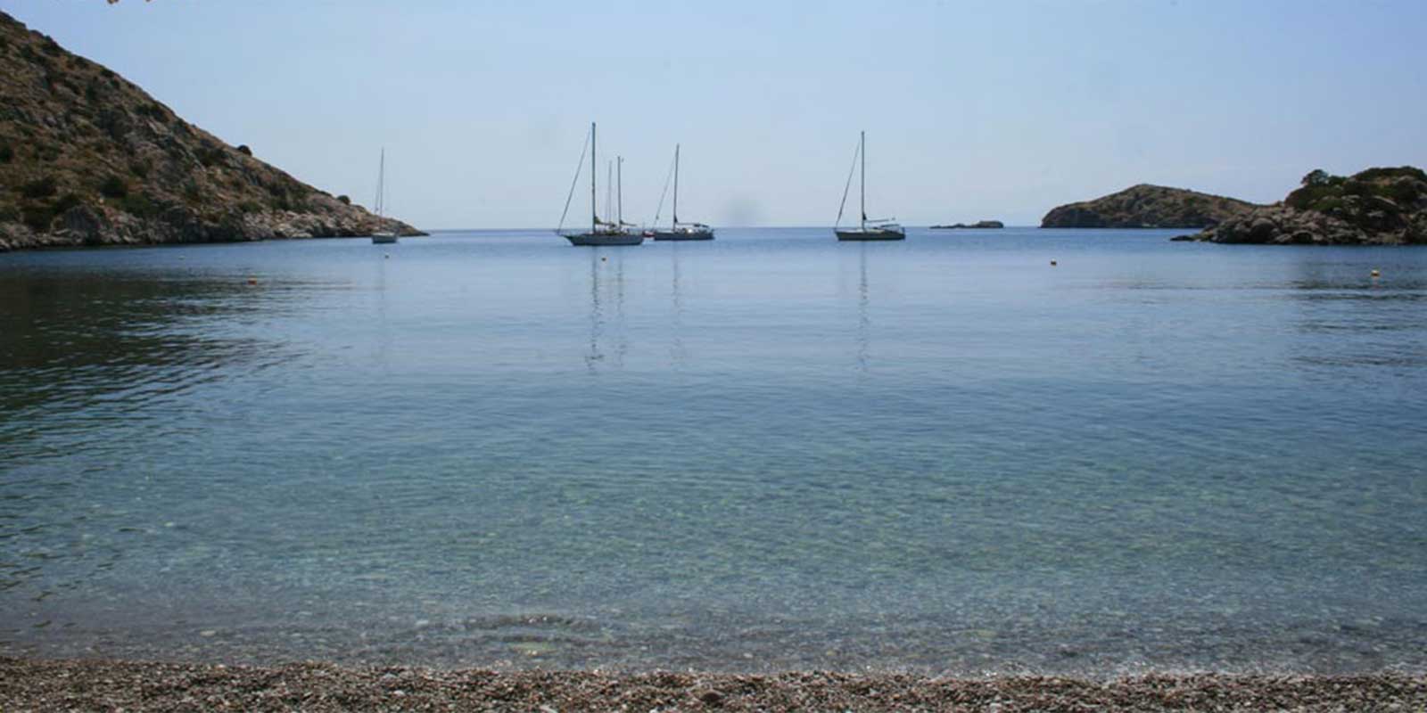
The next beach, near Cape Bisti on the west coast of the island, is the beautiful beach of Agios Georgios, quiet and unorganized, located between two pine-covered hills. The small chapel of the Saint stands prominently on the rocks above the beach.
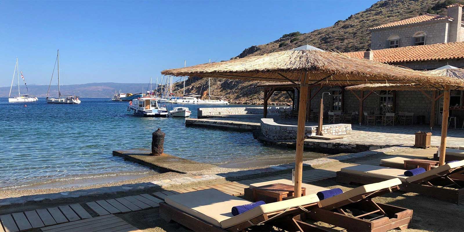
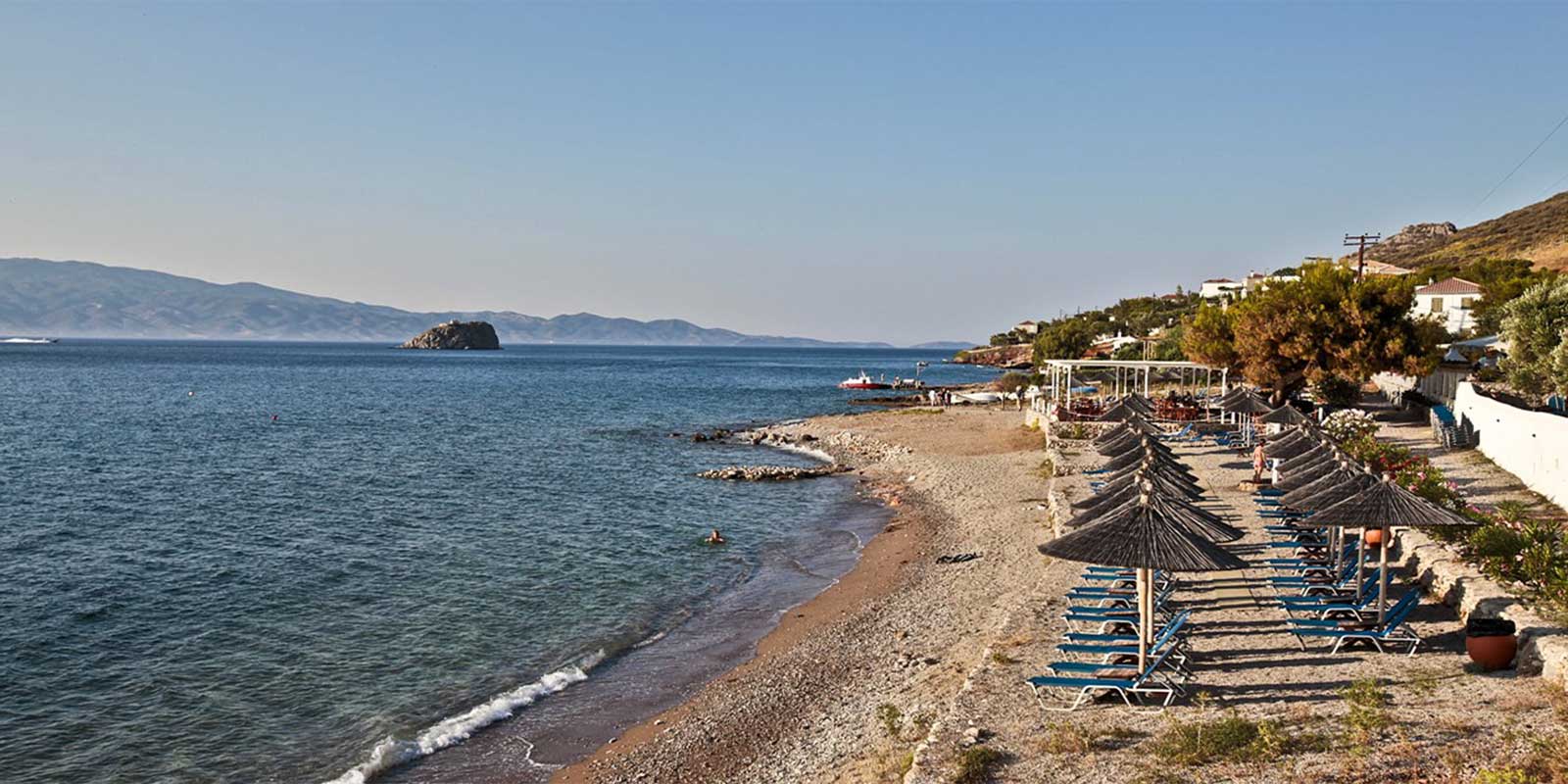
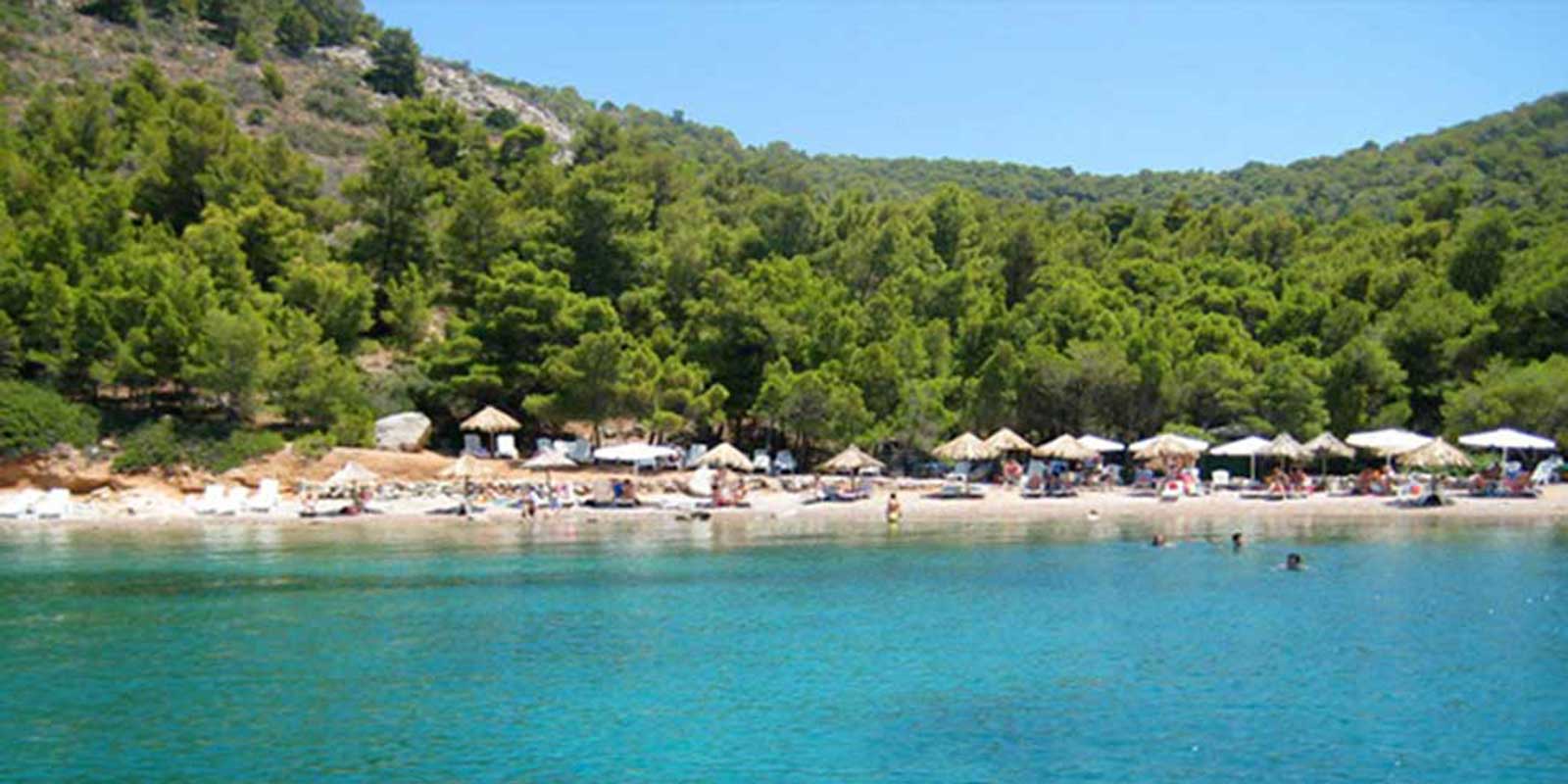
Passing the southwestern tip of the island, we encounter the areas "Paouki" and "Fichti" and reach the bay of Agios Nikolaos. An organized beach with fine pebbles and transparent crystal waters at the head of the bay, with slopes covered in pines, suitable for spearfishing. There are straw umbrellas and sunbeds with small tables, a canteen with refreshments and quick meals, and nearby pines that provide shade and coolness. At one point, there is a bit of sand for small children to play. High up sits the white chapel of "Agios Nikolaos," and nearby is a Mycenaean-Early Helladic installation, an ancient water supply project, perhaps the oldest in Greece.
Continuing and passing the cape of "Agios Konstantinos", directly under Mount Gerakina, we proceed towards the southern side of Hydra. Here, steep coasts emerge from the mountains of the "Zogieri" area until we reach the cape of "Agios Ioannis".
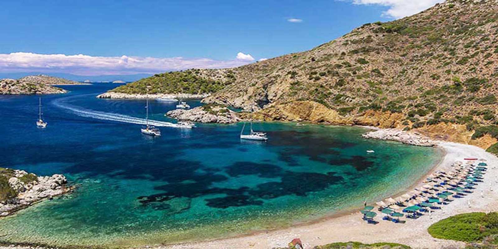
Afterward, the morphology of the area changes, the seascape calms down, and the beautiful area of "Nisiza" appears before us. "Nisiza" is a pine-covered strip of land that enters the green-blue sea and features two beautiful unorganized pebbly beaches in a bay surrounded by pines, where the port of the ancient settlement of Episkopi once was.
After Nisiza lies Klimaki, under the mountains "Eros" and "Pyrgos," a large unorganized beach with crystal waters, several summer houses, and small chapels (Agioi Taxiarches).
After the Seal's Cave, Cape "Chounta tou Riga," the beautiful "Riga's Bay," and Cape "Tsingari," we find ourselves at the most beautiful beach on the island's southern coast, Limnioniza, a pebbly beach, unorganized, ideal for spearfishing. Next to it is the lesser-known "Karali" beach. Traces from the Early Helladic era have been found on the small island located at Limnioniza beach.
Completing the circumnavigation of the island, we pass the steep southeastern shores, which become wilder and steeper starting from "Chounta Zeza." We pass through the "Piothi" area, the "Pentevolia" area in Avlaki Bay, "Zogkou" Bay, and finally reach Cape Zourva.
To the left of Cape Zourva, we head north and encounter the bay of "Zoodochos Pigi" and the "Nero" (Water) area, where for many millennia water has been dripping inside a rock, giving the area its name. On the height sits the white chapel of Zoodochos Pigi, and on the steep rock of "Nero" are the ruins of an ancient settlement.
Passing Cape "Chounta Ntosa" and Cape "Bretista," we reach "Ledeza" Bay, the port of "Zourva," from where the ascent to the Holy Monastery of the "Nativity of the Virgin" begins.
Continuing, we reach the "Kasteva" area, which forms two sea bays—one larger on the west side and another smaller on the east. This is followed by the "Marouleza" area, famous for its sage plants, and then "Kritami," a small natural harbor where the aromatic rock samphire (kritami) grows.
Next, we reach the last bay before the port of Hydra, Mandraki, the island's old naval port, whose entrance was once guarded by two small castles filled with cannons. At Mandraki, there is a very beautiful sandy beach—the only one in Hydra without pebbles—located about 20 minutes from Hydra's port, which can be reached either by walking or by sea from the harbor.
Finally, between the Mandraki area and the port of Hydra lie the "Kamaritsa" area, the "Podaraki tou Christou" location, and the "Gourna" area, after which we reach the lighthouse located at the port of Hydra.